Le Conte Canyon to the base of the Golden Staircase: 12.5 miles.
Sept. 17th, 2011.
Today was a partial rest day. I made coffee, did some laundry and just enjoyed the scenery before hitting the trail. I lucked out last night and found an amazing (and once again vacant) large flat camp site right next to the Kings River. There were three large flat areas and plenty of room for three mid sized groups, but it was just me. I did laundry using a 1 gallon zip lock bag and some camp suds, rinsing everything well away from the river. There was a series of large waterfalls visible just upstream that made for an amazing scene, and frogs. Lots of frogs. While making breakfast and chilling by the river a few very friendly frogs came over and just hung out. They must be used to seeing plenty of people at this prime camp spot, but again I hadn't seen anyone since yesterday late afternoon. I've heard the JMT referred to as a highway, but this late in the season it felt like I had it mostly to myself. I typically would run into two or three other people or groups along the trail each day.
 |
| Kings River by campsite on day six. |
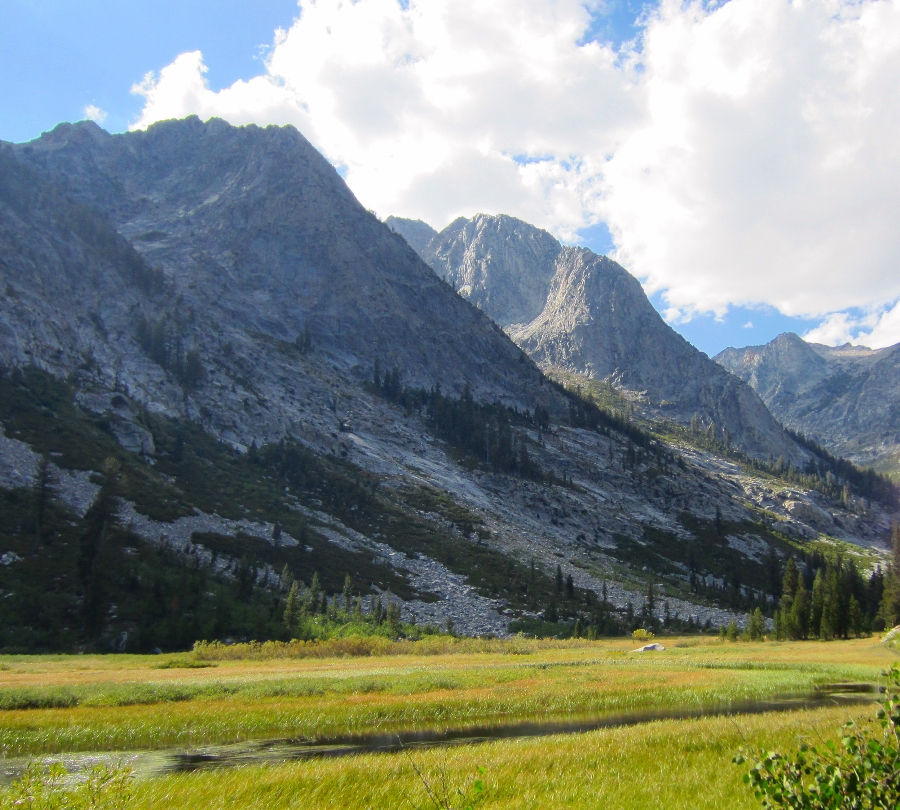
By around 1:00 pm I headed down toward Big Pete Meadow. I passed the famous rock sculpture and later the sign by the Le Conte Ranger Station warning of bears. Some amazing mountain peaks and waterfalls from a hanging valley far far above came into view on the right. The Citadel (11,738 feet) was over 3,000 feet above me and the waterfalls coming down the canyon walls were mesmerizing. I took a few pictures from Grouse Meadows but the sun wasn't cooperating.
 |
| Grouse Meadow |
The trail from Big Pete Meadow to the Palisade Creek junction was mostly flat and I made good time along Palisade Creek. There were many comfortable camp sites under the forested Deer Meadows area and I passed a few groups already having dinner, but I was hitting my familiar late afternoon stride and I wanted to keep going. . . as usual I was chasing the late afternoon sun. If I was more of a morning person I would have been making an extra five or ten miles a day, but it was time to find a spot to camp. I could see a large waterfall at the end of the canyon and it looked like there might be a plateau at the top.
I raced the sun up the stone switchbacks that lead to the top of the falls. I was bolting up the granite stairs, sometimes bushwhacking through lush ferns that were fed by the many waterfalls and seeps coming down the canyon walls. I figured that at the worst I would just stealth camp anywhere that was reasonably flat, and just as I was loosing hope of finding a descent place to camp. . . I made it to the plateau by the waterfall.
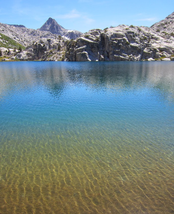
I could hardly believe my luck when I found two small flat spots just big enough for a small tent or bivy right by the top of the waterfall. The view looking back over the canyon was amazing. On either side were huge granite walls rising almost 4,000 feet from the floor of the canyon to Giraud Peak (12,608 ft.) on the right and Mt. Shakespeare (12,174 ft.) on the left. At the opposite end of the canyon were the mountains and peaks of the Black Divide. The Devils Crags, Wheel Mountain (12,774 ft.), Mt. McDuffie (13,282 ft.) and The Citadel (11,739 ft.). I was at the far west end of the canyon and knew I was set for an amazing sunrise.
 |
| Camp just below the Golden Staircase. |
 |
| Alpenglow. |
As I set up my quilt and bivy the sun was making it's way up the canyon walls behind me. I watched the alpenglow too long and ended up making dinner by the waterfall in the dark. Any thought of the 'real world' was long long gone. I was completely taken by the peace of this amazing place. I drifted off to sleep listening to the waterfall and watching the stars come out, framed by the awesome walls of granite on either side.
 |
| Camp overlooking Palisade Creek, Deer Meadow and Devils Crags. |
 |
| Cooking after sunset. |
 |
| Click for full size. |
Click here for Day Seven